
A sparkling turquoise lake, a spectacular peak, an isolated tent facing Mont Blanc: on Instagram, hiking in Haute-Savoie looks like a waking dream. But behind these perfect pictures lies a sometimes brutal reality. Poor preparation, underestimating risks, and inappropriate equipment: how does the quest for “likes” turn a nature outing into a real trap?
The digital mirage: when the photo erases the danger
The scenario is classic. A user scrolls through their feed and comes across a breathtaking photo of an iconic spot (Lac Blanc, Pointe de Percée, Désert de Platé). The geolocation is immediate, so is the desire to go there. The trap has just been triggered.
The “Instagram” effect erases complexity:
- The illusion of ease: A sunny summit photo shows neither the exhausting elevation gain, nor the dizzying passages, nor the hours of walking needed to reach it.
- The weather filter: The photo is taken under a bright blue sky. It does not warn that ten minutes later, a violent storm or knife-cutting fog may descend on the massif.
This visual over-simplification attracts beginners to high mountains who have no awareness of the specificity of the environment they are about to face.
AI and algorithms, involuntary accomplices
To plan this “inspired” outing, many turn to digital tools. Google Maps or even generative artificial intelligences (like ChatGPT) are consulted to trace the fastest route to the photo.
And this is where the danger doubles:
- Fantasy routes: As many guides and national park agents point out, AIs sometimes generate aberrant routes, disregarding rocky barriers or the absence of real trails. They “hallucinate” paths where there is only emptiness.
- Chronic underestimation of effort: Calculating mountain travel time based on walking speed on flat ground is a fatal error. AI does not “know” the fatigue related to elevation gain or altitude.
The “sneaker syndrome”: out-of-place equipment
This is one of the most visible symptoms of “Instagram” hiking. Attracted by the photo, some visitors set out to climb technical peaks equipped as if for a city walk: light running sneakers, shorts, t-shirt, and sometimes not even a water bottle or map.
The consequences are immediate:
- Sprains and falls: On unstable terrain (scree, slippery rock slabs), a shoe without ankle support is an invitation to injury.
- Rapid hypothermia: In the mountains, the temperature drops by 6.5°C every 1,000 meters. A hiker in shorts caught in fog at 2,500m can suffer hypothermia within a few tens of minutes, even in the height of summer.
Rescuers and professionals sound the alarm
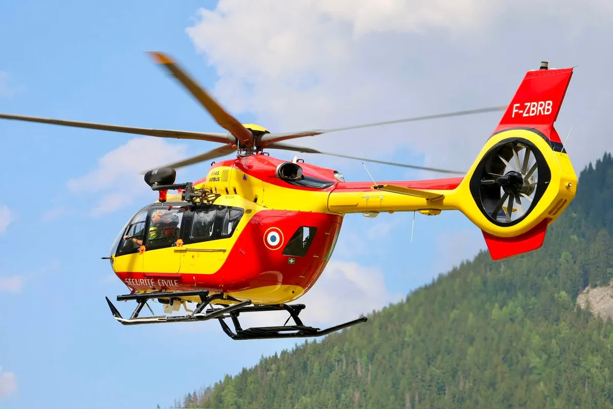
Faced with the increasing number of interventions for “lost” or “exhausted” hikers, the PGHM (Haute Montagne Gendarmerie Platoons) and guide companies are worried.
“We see people arriving completely out-of-place. They saw the photo, they followed the phone’s GPS, but they have no terrain reading, no notion of the weather, and no emergency equipment to face the unexpected.”
The mountain is a space of freedom, but it imposes its rules. Relying solely on a digital image to venture there is an unreasonable risk that endangers not only the hiker but also the rescuers called for help.
The 4 commandments to avoid falling into the trap
For your hike to remain a pleasure and not end up as a news story, adopt these simple reflexes before leaving:
- Check the specific mountain weather: Do not rely on valley weather forecasts. Conditions change very quickly at altitude.
- Use an IGN map (TOP 25): It is the only reliable tool to analyze the terrain, spot rocky barriers, and real trails. The phone’s GPS is only a complement.
- Equip yourself for the worst: High-cut mountain boots, warm and waterproof clothing, plenty of water, food, whistle, and headlamp are the bare minimum, even for a day trip.
- Accept turning back: If fatigue is too great, if the weather worsens, or if the trail becomes too technical, giving up is a sign of maturity, not a defeat.
Cover photo source: FB PGHM74