
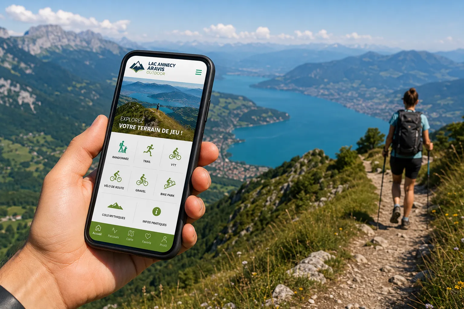
Good news for hiking, mountain biking or road cycling enthusiasts: a new mobile application called “Lac Annecy Aravis Outdoor” has just been launched. Free of charge, it brings together hundreds of official routes around Lake Annecy, the Thônes valley, and the Aravis mountain range to support users before and during their outings.
More than 280 routes at your fingertips
Developed by the Annecy Mountains territory, the app references marked and maintained routes in the local municipalities. Users can find in particular:
- nearly 150 hiking routes;
- more than 15 trail running courses;
- 70 mountain bike circuits, including cross-country, enduro and downhill;
- 40 road cycling routes;
- 4 gravel routes;
- 15 iconic mountain passes to climb by bike;
- as well as the 2 bike parks in the territory.
Each route is accompanied by numerous practical details: distance, elevation gain, difficulty, estimated time, altitude profile, route description and GPS guidance.
GPS guidance even without network
One of the main advantages of the application is the ability to download routes before departure. Once the data is saved on the smartphone, GPS guidance remains accessible even in areas where the network coverage is limited.
Users can also check their real-time position on the route, which makes orientation on trails easier.
An application designed for all seasons

While this first version is mainly aimed at summer activities, the project is set to evolve. A winter version will gradually include ski touring routes as well as trails accessible for winter hiking depending on the relevant resorts.
A practical application… but it does not replace preparation
No matter how efficient it is, a hiking application must never be considered a guarantee of safety in the mountains. Before setting off, it is essential to check the weather, verify the condition of the trails, and choose a route suitable for one’s physical level. The smartphone must be charged, ideally accompanied by an external battery, as GPS use quickly drains power. It is also recommended to download maps before departure, since some mountain areas are without mobile network coverage.
Finally, always keep some basic landmarks: a paper map or knowledge of the route remain valuable aids in case of phone failure, dead battery, or app malfunction. Technology is a useful tool but does not replace common sense nor careful preparation of your outing.
A tool to discover the territory differently
With this new application, tourist offices aim to encourage a more responsible practice of outdoor activities by directing visitors toward official, marked, and regularly maintained routes.
Whether you are an occasional hiker, an experienced trail runner, a mountain biker or a cyclist looking for a new pass to conquer, Lac Annecy Aravis Outdoor aims to become an essential travel companion to explore the landscapes between Lake Annecy, the Thônes valley, and the Aravis mountain range.
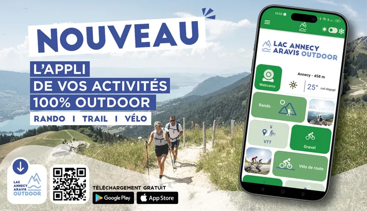
This application is available for free download on Google Play and the App Store.